Winter brings a different view of the landscape across Route 20 when many people aren’t exploring the road.
Location and Geologic History
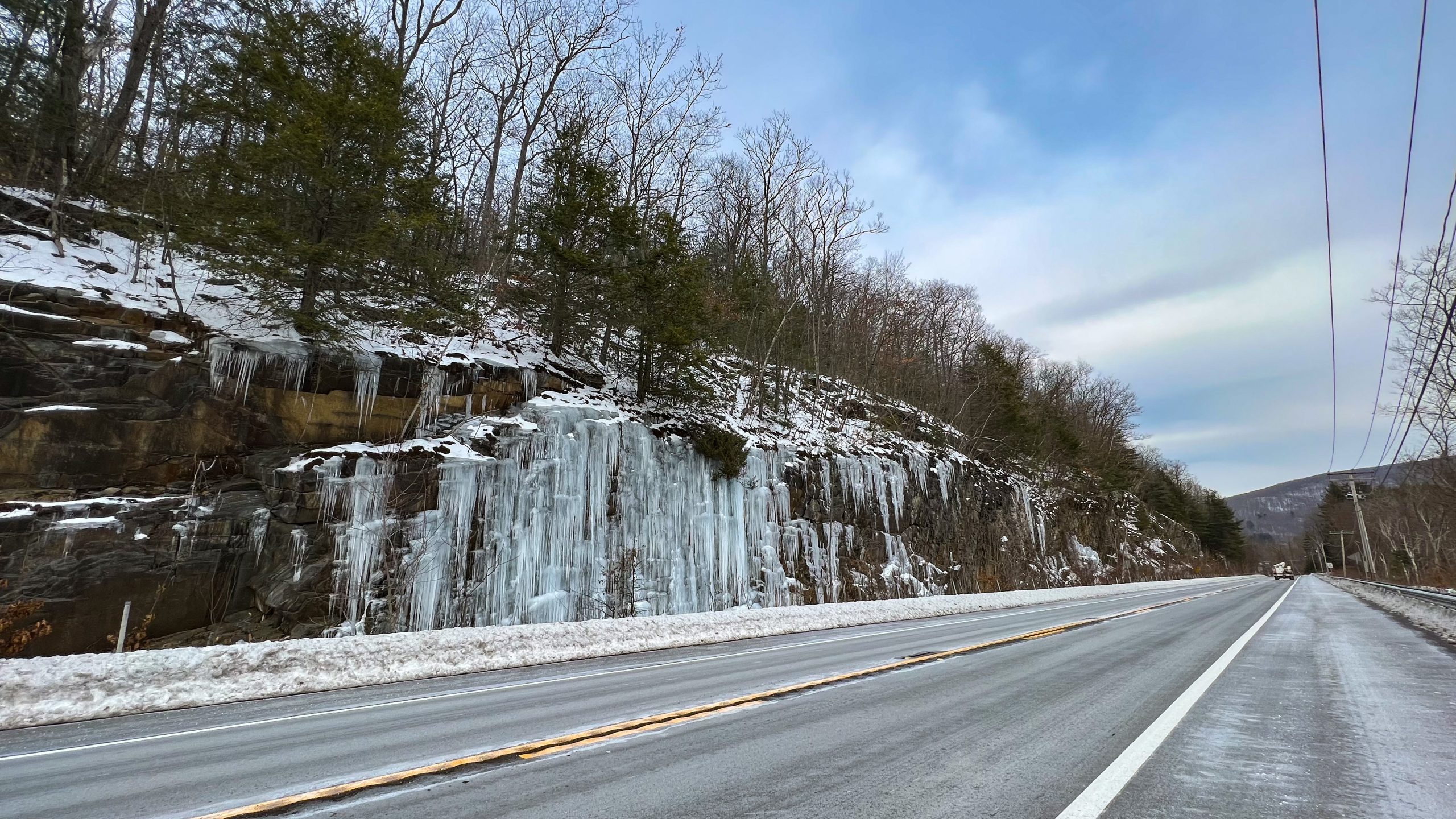
In the Russell, MA village of Woronoco, a road cut near the intersection of MA Route 23 reveals the geological workings of the Berkshire Mountains. Millions of years ago, the continental collisions between North America and Africa forced the sedimentary layers of rock to heat up, compress and transform into a metamorphic rock and be pushed up 90 degrees. Think of placing your hands on a sheet of paper and sliding it together. That flat sheet of paper with fold up and be perpendicular to the level table.
Geology
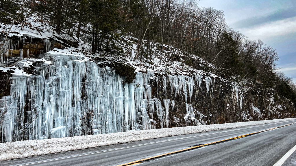
Water that falls on the surface of the ground in the form or rain or snow will seep and filter into the ground and through varies layers of rock. The groundwater will flow with gravity to the lowest location. In many natural settings, you will not see the ground water coming out of the ground, except at a river or spring. But, when the rocks are disturbed or cut, the uphill flow of groundwater has not changed and will continue to flow until it reaches the cut and then will slowly drip out of the rocks.

In a fairly level landscape, the layers of rock are parallel and when the water reaches a rock cut in this situation, water will seep out of every layer. And in the winter, forming a massive wall of ice. Think of it as having a leak every inch for 50 feet, thats 600 leaks!
The Ice at Russell
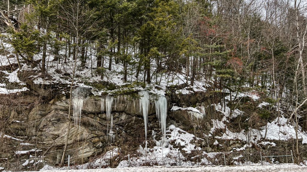
With solid rock at 90 degree angles, the water cannot easily flow and will pool up and exit at the cracks in the tops of the rock. Since this is a singular point drop, it creates more dramatic looking ice scenes, usually long icicles instead of a massive wall of ice.
Google Maps
